WorldLine Project
/
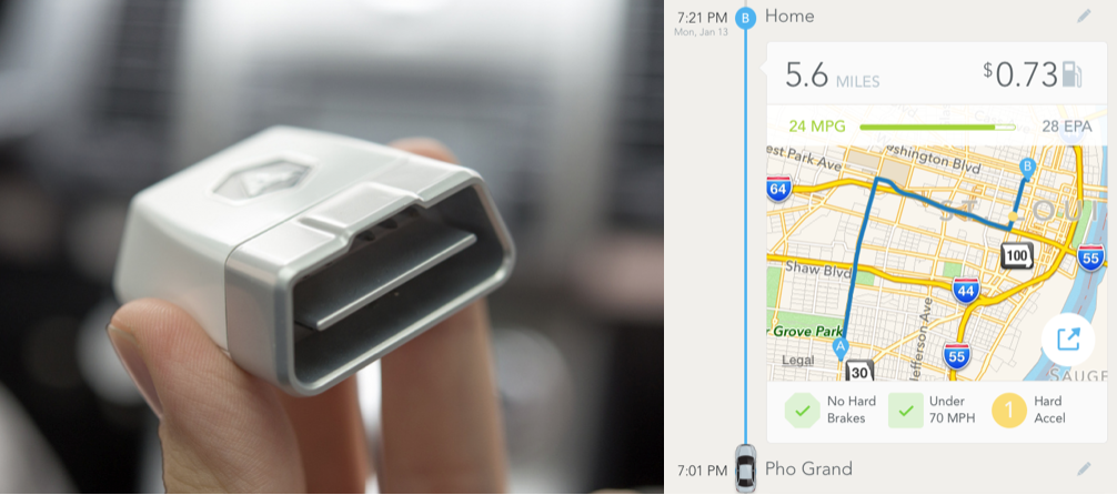
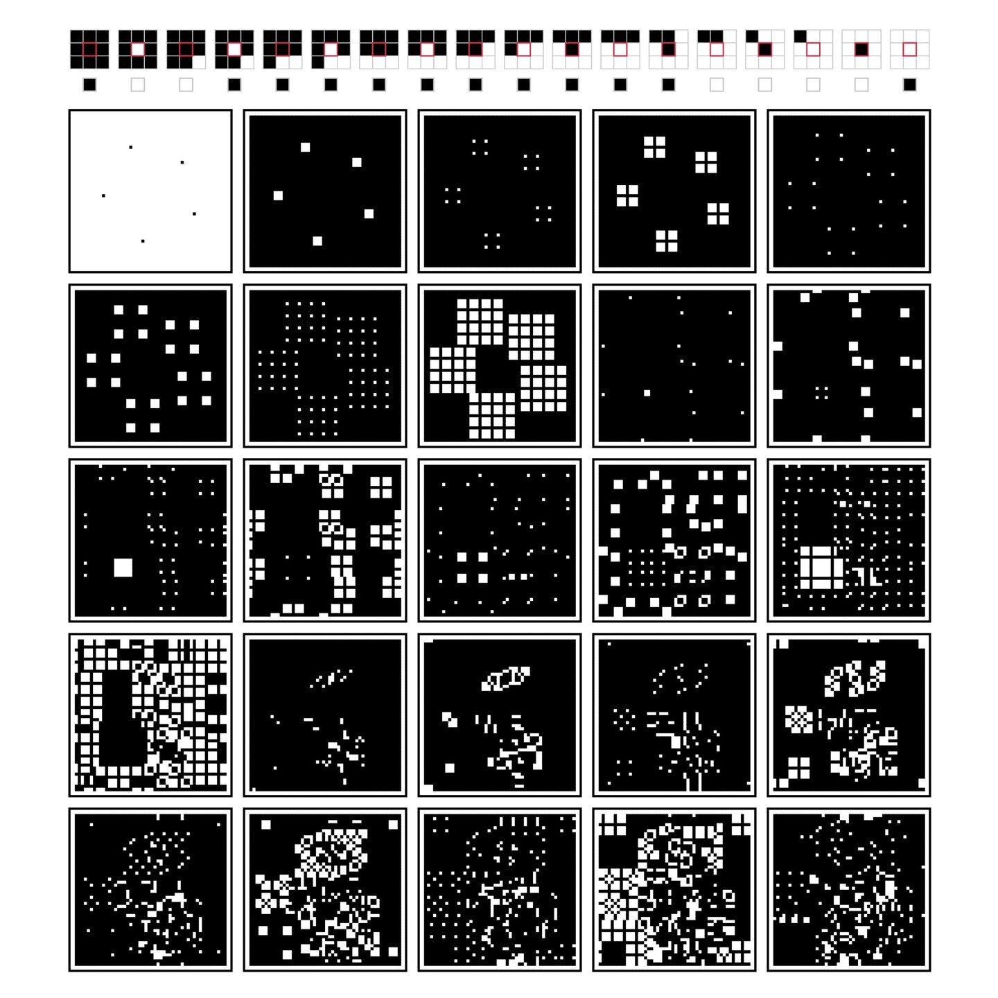
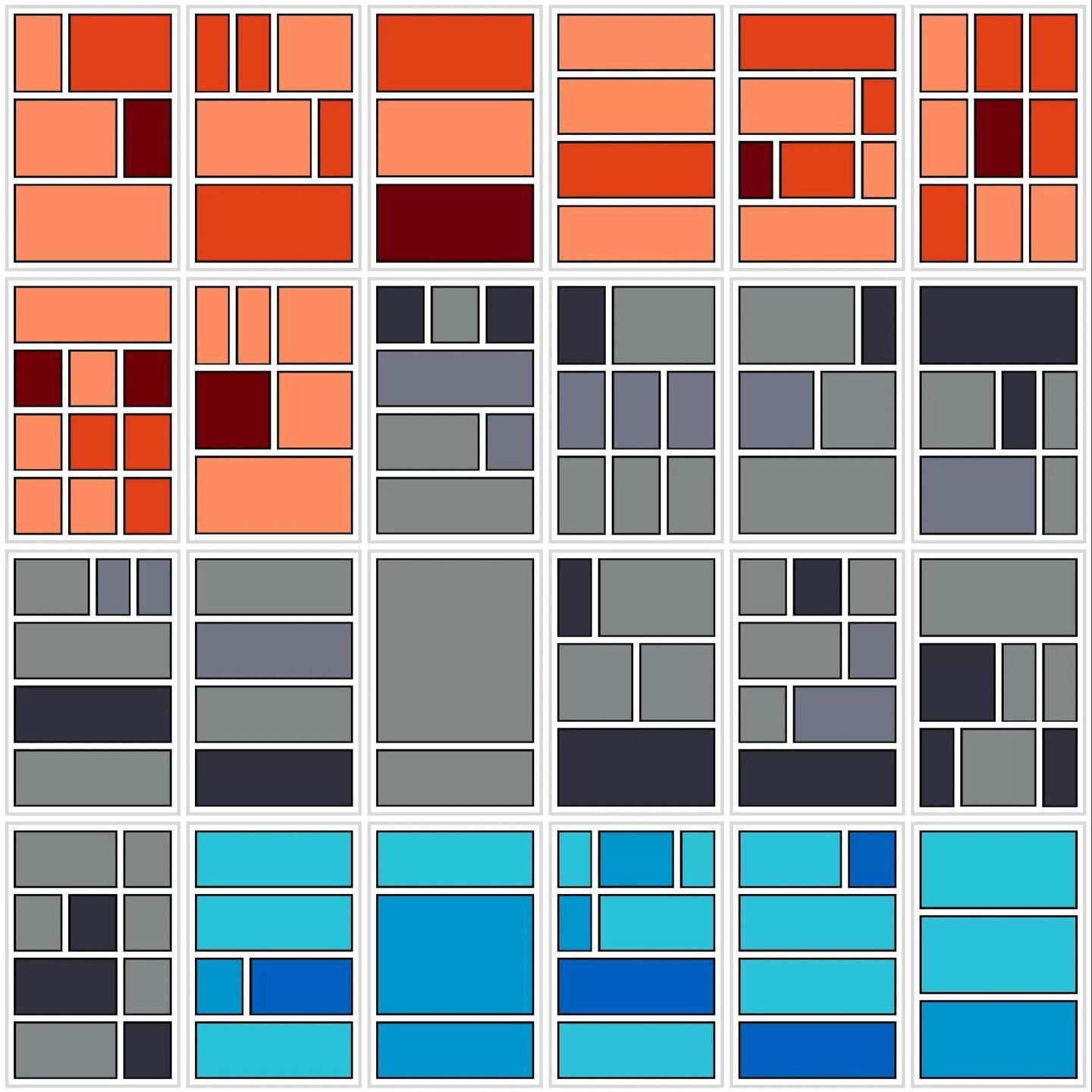
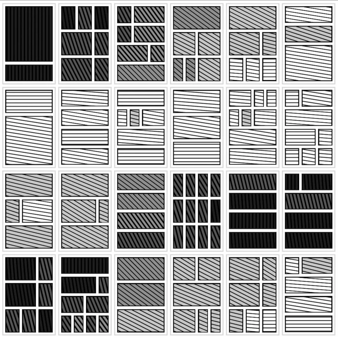
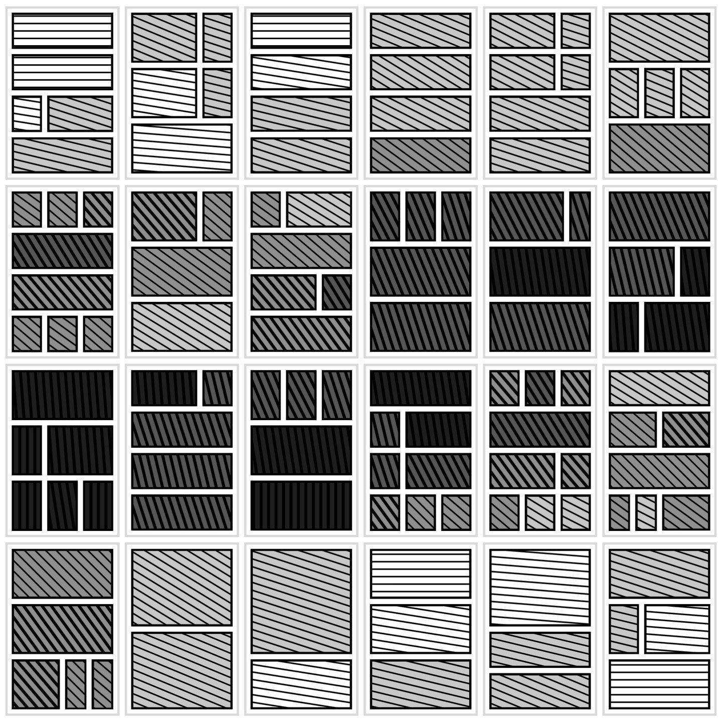
A visualization of daily activity data taken with a prototype iPhone app I built called HabStats.
For some time I've been fascinated with the notion of recording my daily activities. I recall in 2001 as a postdoc in Toronto installing a time tracking app on my Palm Pilot (something like this), and using it vigilantly to keep track of how I was making use of my time. I felt empowered to actually have hard data, which often contradicted my subjective sense of time. I also realized that the act of recording what I was doing increased my in-the-moment awareness, but at the same time was tedious. After a month or so I eventually abandoned the practice.
Years later, after the iPhone had been released upon the world, my interest in time tracking was rekindled, and I began to devise what such a re-envisioned time tracking app would look like on the iPhone. I eventually purchased an iPhone in 2009, and an Apple developer account, largely driven by my desire to build this tool. So, in my spare time, I learned Objective C and taught myself how to use the iPhone SDK. It took a couple of years of starts and stops, but eventually I had a working app I called HabStats, with plans to release to the App Store. However, after using the app to continuously track my activities for a week in March of 2012, I became discouraged by the tediousness and intrusiveness of having to interact with my phone throughout the day. I put my project aside once again, later giving a summary of it as a show and tell presentation at the Chicago Quantified Self meetup.
The project never died, but has pivoted in a new direction. To alleviate the insurmountable tediousness of having to manually record activities, I began exploring the possibility of using GPS, motion sensors, and RF proximity sensors to build up a data set that could be cultivated for human activity information. This is becoming an increasingly crowded problem space. There already exist mobile apps, such as Moves, that track your movements using GPS. Coupled with Apple's iBeacon platform, and motion trackers like the Fitbit, I think it will be possible to pinpoint one's activities fairly accurately. This is what I'm currently working on, rechristening the project WorldLine. Hopefully I'll be able to make progress in the coming months.